01 / Boston neighborhoods
Back Bay
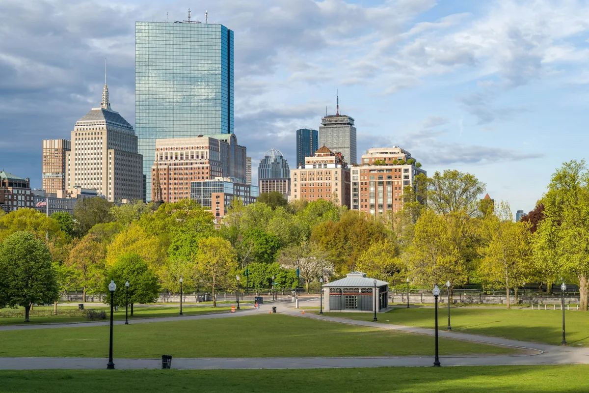
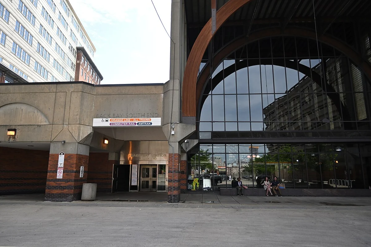
A planned nineteenth-century district, where exterior work goes through design review.
Local and nearby transit connections are explained in the guide.
Housing · transit · schools Explore ↗
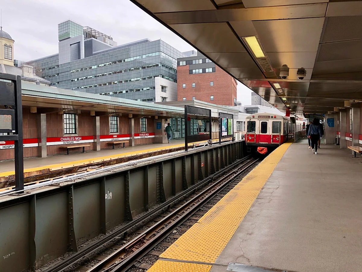
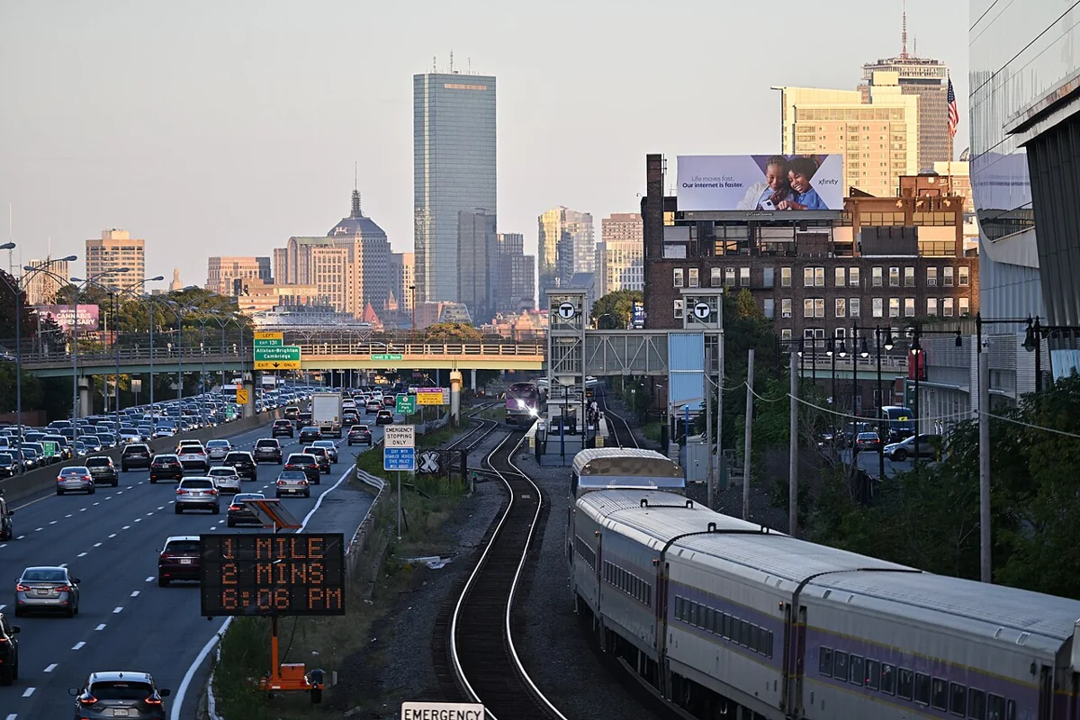
GREATER BOSTON · KELLY CUI
Buying, selling and property management in Greater Boston.
Learn about local homes, transportation, schools and ownership costs.
EXPLORE THE MAP
Select a shaded area or numbered pin to open its community guide.
Loading map. All guides are also linked below.
Boundaries: MassGIS municipalities and Boston Planning Department neighborhoods, simplified for orientation. These are not school attendance boundaries. MassGIS ↗ · Boston ↗
MassGIS (Bureau of Geographic Information), Commonwealth of Massachusetts EOTSS.
18 COMMUNITY GUIDES
Compare 18 Greater Boston communities by housing, transportation, schools and ownership costs. Check school assignment and commute options for the specific address you are considering.
Subway, rail & official maps ↗Compare local stations, nearby connections and the full journey from each home.

01 / GREATER BOSTON
3 community guides

01 / Boston neighborhoods
A planned nineteenth-century district, where exterior work goes through design review.
Local and nearby transit connections are explained in the guide.
Housing · transit · schools Explore ↗
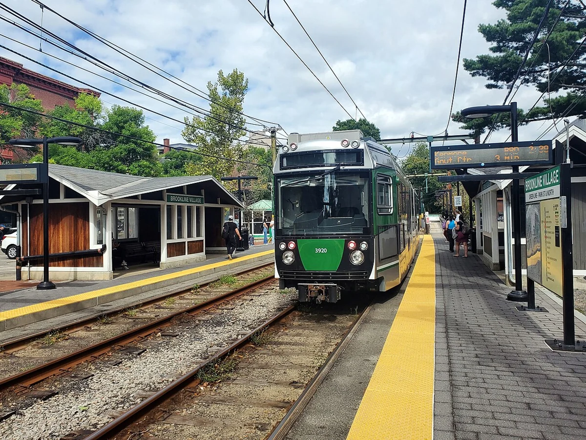
02 / Boston neighborhoods
Historic streets beside the Common, with review for what can be seen from them.
Local and nearby transit connections are explained in the guide.
Housing · transit · schools Explore ↗
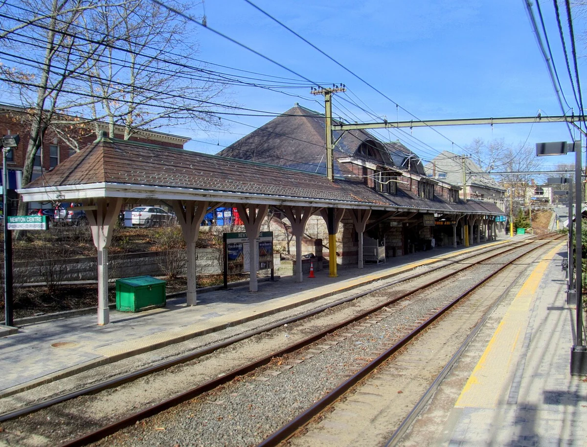
03 / Boston neighborhoods
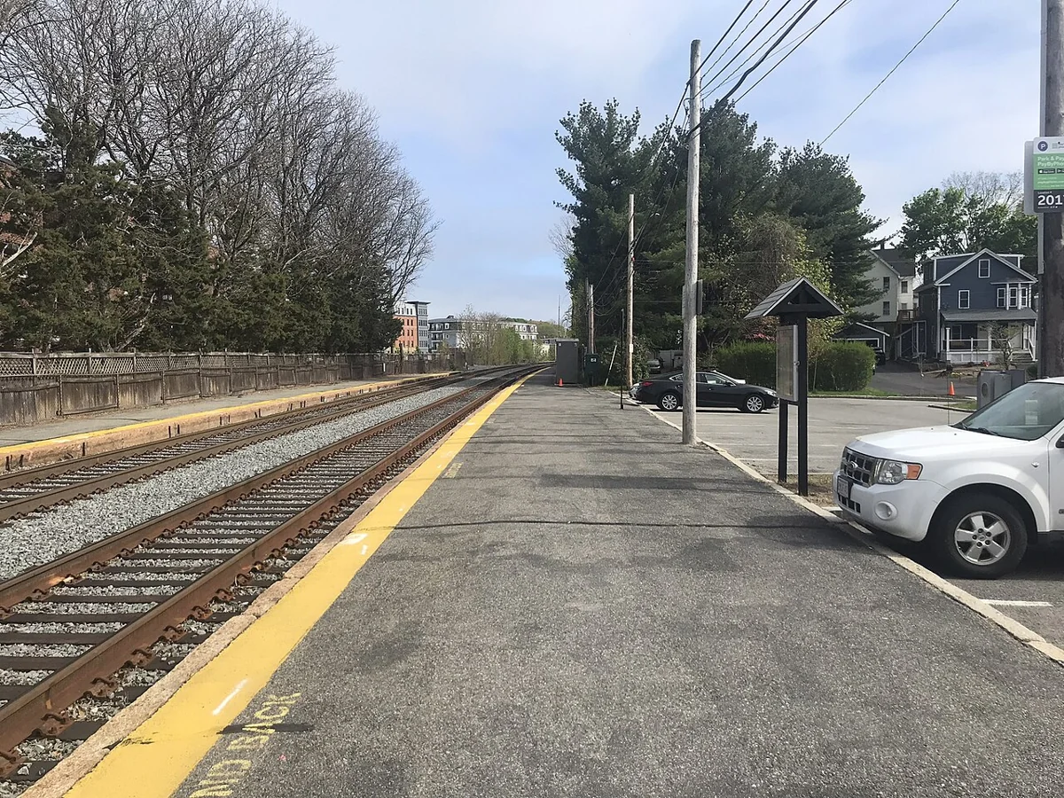
Two Green Line branches, a Commuter Rail stop, and condominiums built across a century.
Local and nearby transit connections are explained in the guide.
Housing · transit · schools Explore ↗02 / GREATER BOSTON
3 community guides

04 / West of Boston
A separate town organized along two Green Line branches.
Local and nearby transit connections are explained in the guide.
Housing · transit · schools Explore ↗
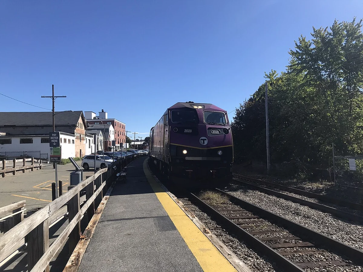
05 / West of Boston
Thirteen villages, each with its own center and its own route into Boston.
Local and nearby transit connections are explained in the guide.
Housing · transit · schools Explore ↗
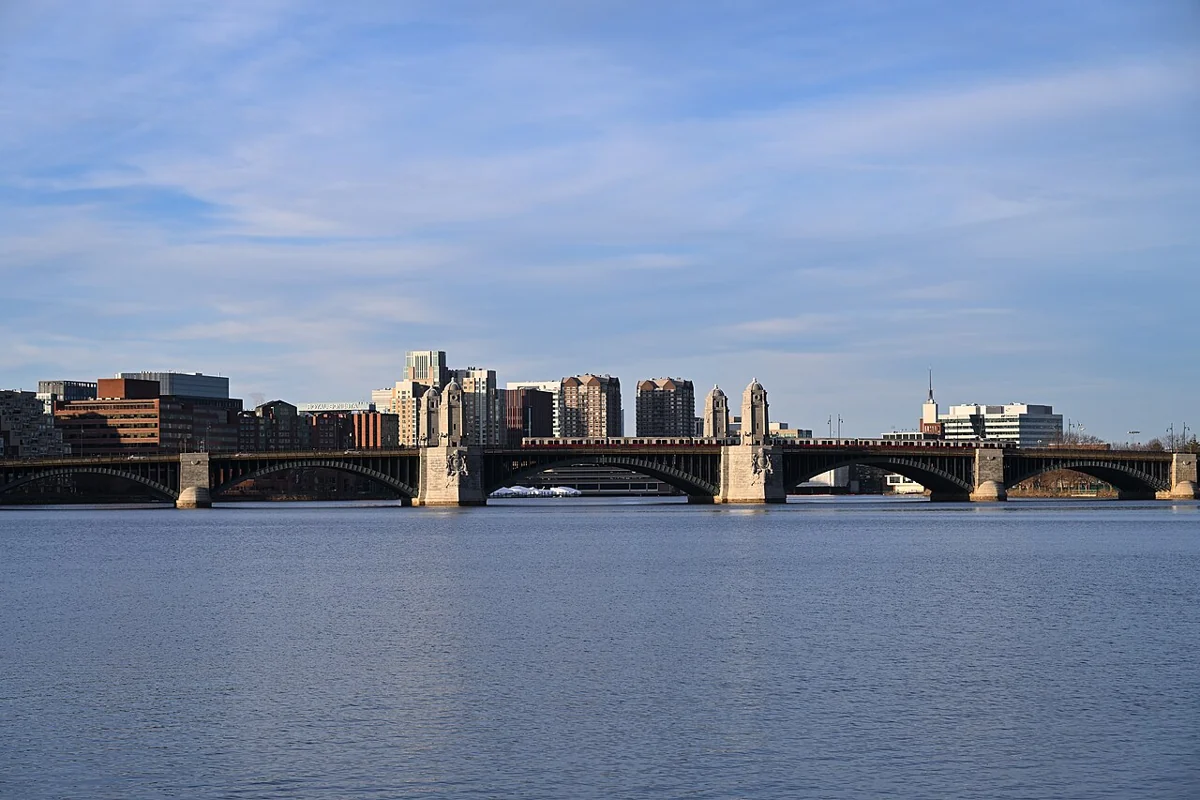
06 / West of Boston
A city with its own downtown, two Commuter Rail stops and housing of every age.
Local and nearby transit connections are explained in the guide.
Housing · transit · schools Explore ↗03 / GREATER BOSTON
4 community guides

07 / Cambridge & the inner suburbs
Thirteen neighborhoods, five Red Line stations and a city of mostly older housing.
Local and nearby transit connections are explained in the guide.
Housing · transit · schools Explore ↗
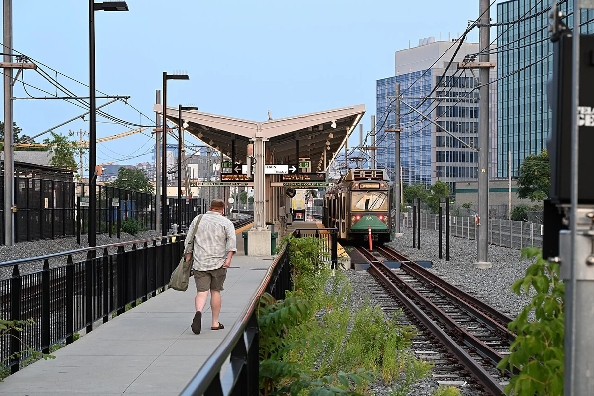
08 / Cambridge & the inner suburbs
A city of squares, now with Green Line stations, and its own condo conversion rules.
Local and nearby transit connections are explained in the guide.
Housing · transit · schools Explore ↗
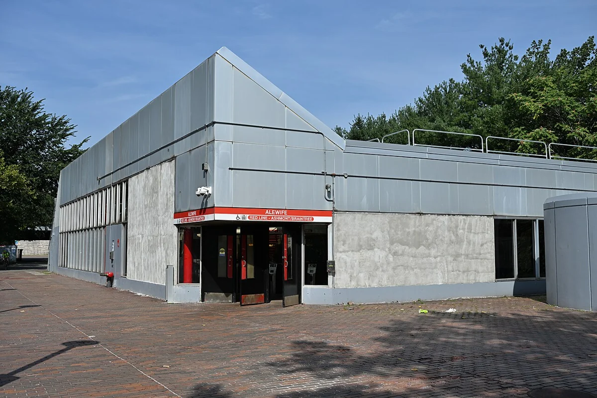
09 / Cambridge & the inner suburbs
No rail station: buses along Massachusetts Avenue and the Minuteman Bikeway to Alewife.
Connection shown: Alewife in Cambridge, outside Arlington.
Housing · transit · schools Explore ↗
10 / Cambridge & the inner suburbs
Two Fitchburg Line stations, three village centers and mostly single-family homes.
Local and nearby transit connections are explained in the guide.
Housing · transit · schools Explore ↗04 / GREATER BOSTON
7 community guides

11 / North & northwest
No subway or Commuter Rail station: a town reached by bus, bike path and car.
Connection shown: Alewife in Cambridge, outside Lexington.
Housing · transit · schools Explore ↗
12 / North & northwest
Two Lowell Line stations, the Middlesex Fells and a mix of houses and condominiums.
Local and nearby transit connections are explained in the guide.
Housing · transit · schools Explore ↗
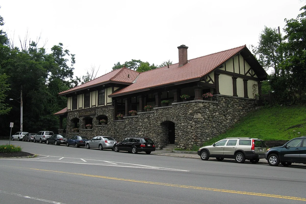
13 / North & northwest
A Lowell Line station, three bus routes and newly built condominiums.
Local and nearby transit connections are explained in the guide.
Housing · transit · schools Explore ↗
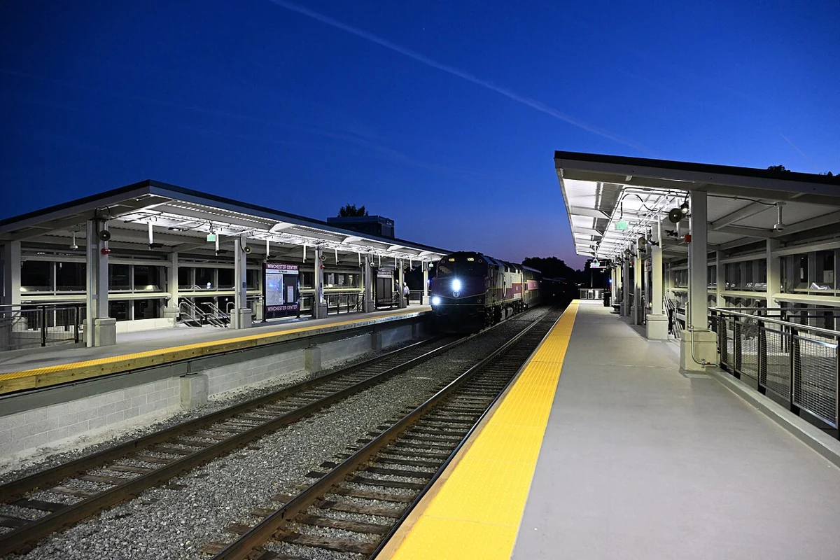
14 / North & northwest
Green Line, Orange Line and Commuter Rail, with the Fells to the north.
Local and nearby transit connections are explained in the guide.
Housing · transit · schools Explore ↗
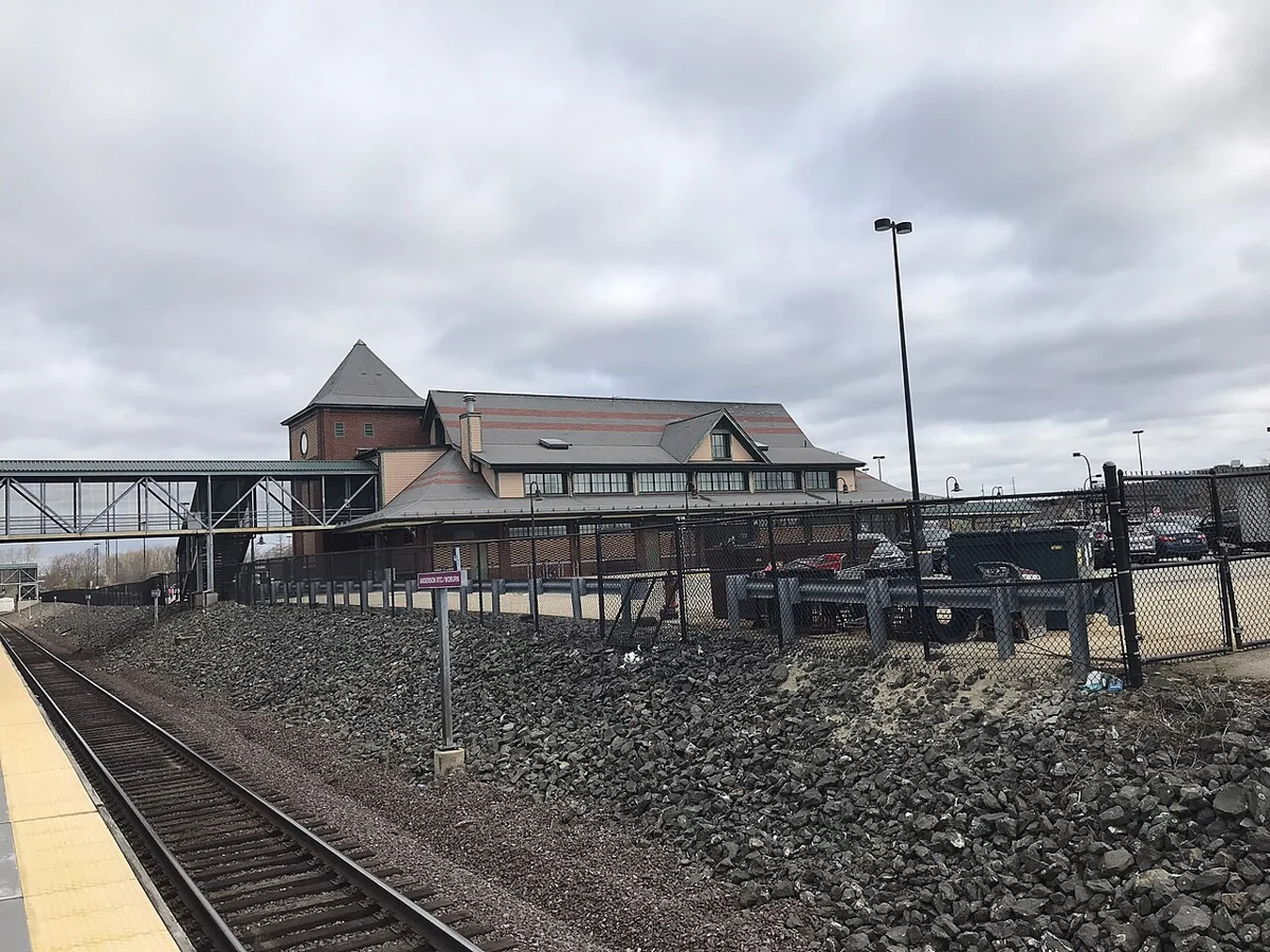
15 / North & northwest
Two stations, each served by both the Orange Line and the Haverhill Line.
Local and nearby transit connections are explained in the guide.
Housing · transit · schools Explore ↗
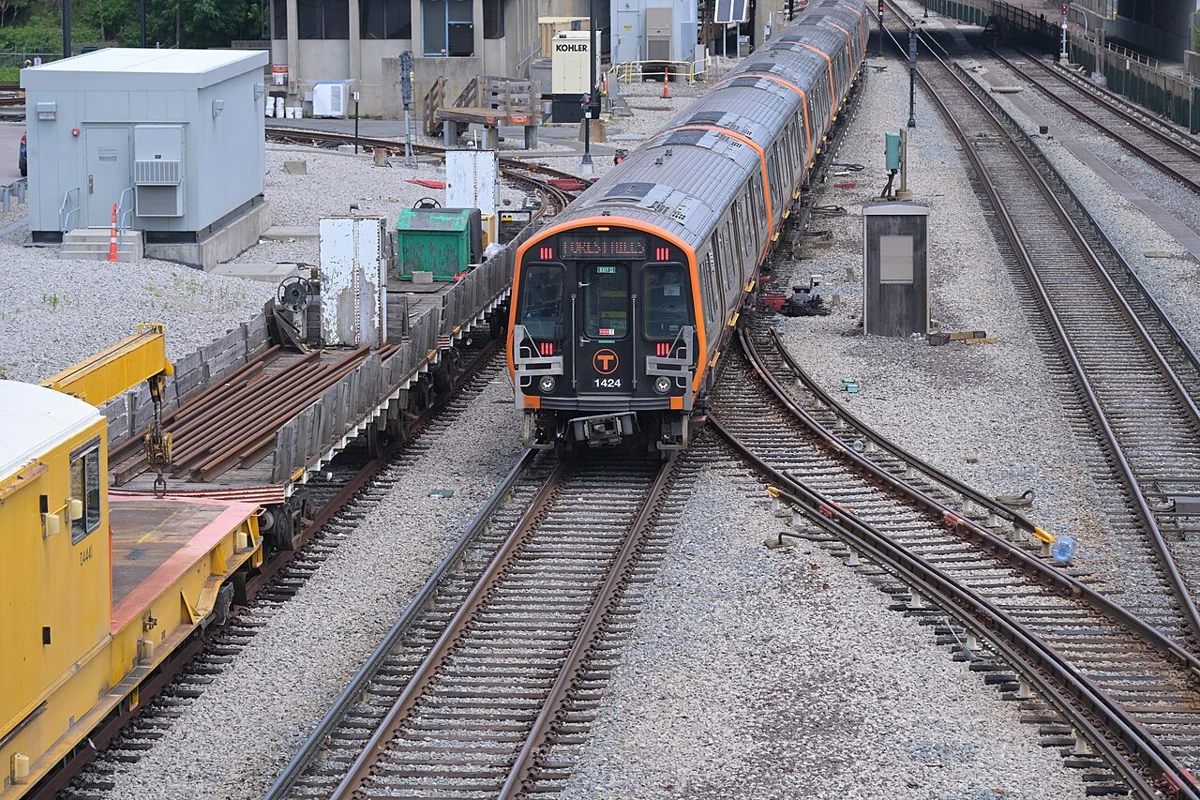
16 / North & northwest
Three Haverhill Line stations, the Orange Line at Oak Grove next door and the Fells.
Local and nearby transit connections are explained in the guide.
Housing · transit · schools Explore ↗
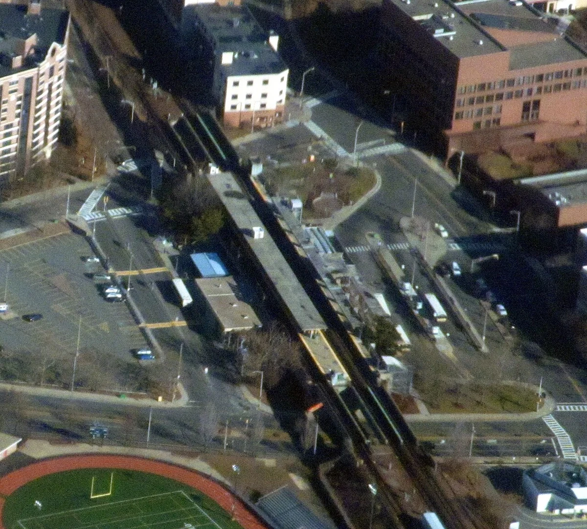
17 / North & northwest
No subway or Commuter Rail station: a city served by buses to Wellington, Sullivan Square and Malden.
Connection shown: Wellington in Medford, outside Everett.
Housing · transit · schools Explore ↗05 / GREATER BOSTON
1 community guides

18 / South Shore gateway
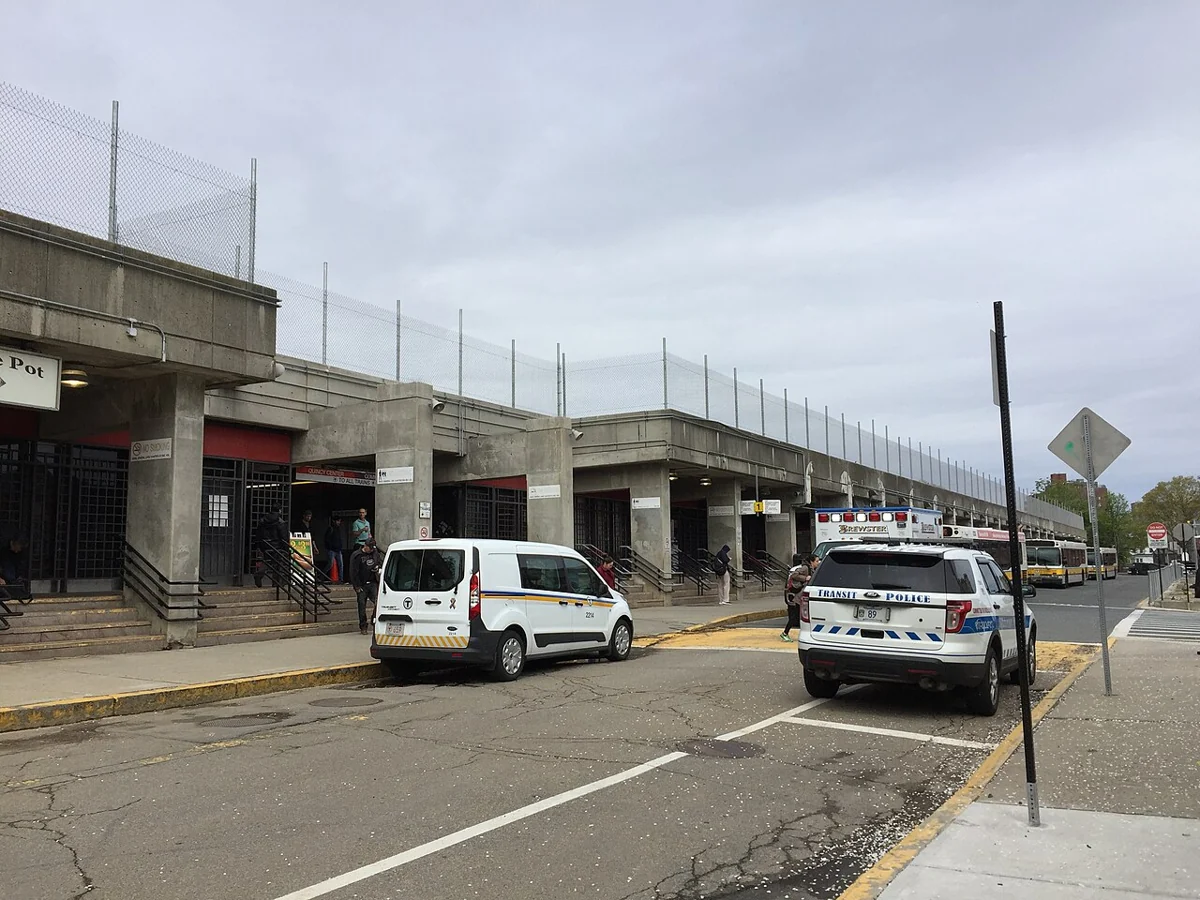
Four Red Line stations, Commuter Rail at Quincy Center and a long shoreline.
Local and nearby transit connections are explained in the guide.
Housing · transit · schools Explore ↗