Boston from the Charles River

GREATER BOSTON · KELLY CUI

Harbor Islands

Harbor Islands appears in Boston’s planning geography.

BOSTON · CHARLES RIVERSCROLL TO EXPLORE ↓

Boston’s island landscape and park connections.

Boston neighborhoods · COMMUNITY GUIDE

Boston’s island landscape and park connections.

Harbor Islands appears in Boston’s planning geography. The wider Boston Harbor Islands National and State Park spans islands and peninsulas managed by several partners. This guide is for geographic context and park access, rather than a conventional residential search district.

AT A GLANCE

Harbor Islands at a glance

A few useful starting points for your search.

Municipality
Boston, Massachusetts
Area
Park and island geography
Source
National Park Service and Boston planning geography

EXPLORE THE AREA

Map of Harbor Islands

Open in Google Maps ↗

GETTING AROUND

Subway & rail in Harbor Islands

Transit guide & official maps ↗
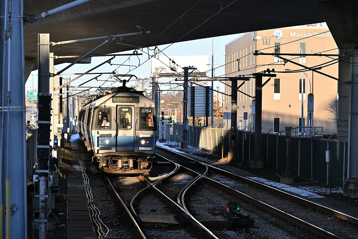
Blue Line approaching Airport station
Blue Line approaching Airport station© 4300streetcar · CC BY 4.0 · WebP

Network reference photograph; the caption identifies its actual location. Use the stations below to plan this area’s connections.

STATIONS AT A GLANCE

Subway

Connections outside the area

Commuter Rail

Connections outside the area

Selected boarding points, grouped by line. Not every stop is shown; this is not a scale map.

View the network maps ↗

No station within the area

Subway

Use the MBTA trip planner for the bus or rail connection from the exact address. No subway station is identified within this guide area.

MBTA · OFFICIAL MAP

Official MBTA Subway Map

The complete official rapid transit map, including key bus routes. Open the full-size map or PDF to read station names.
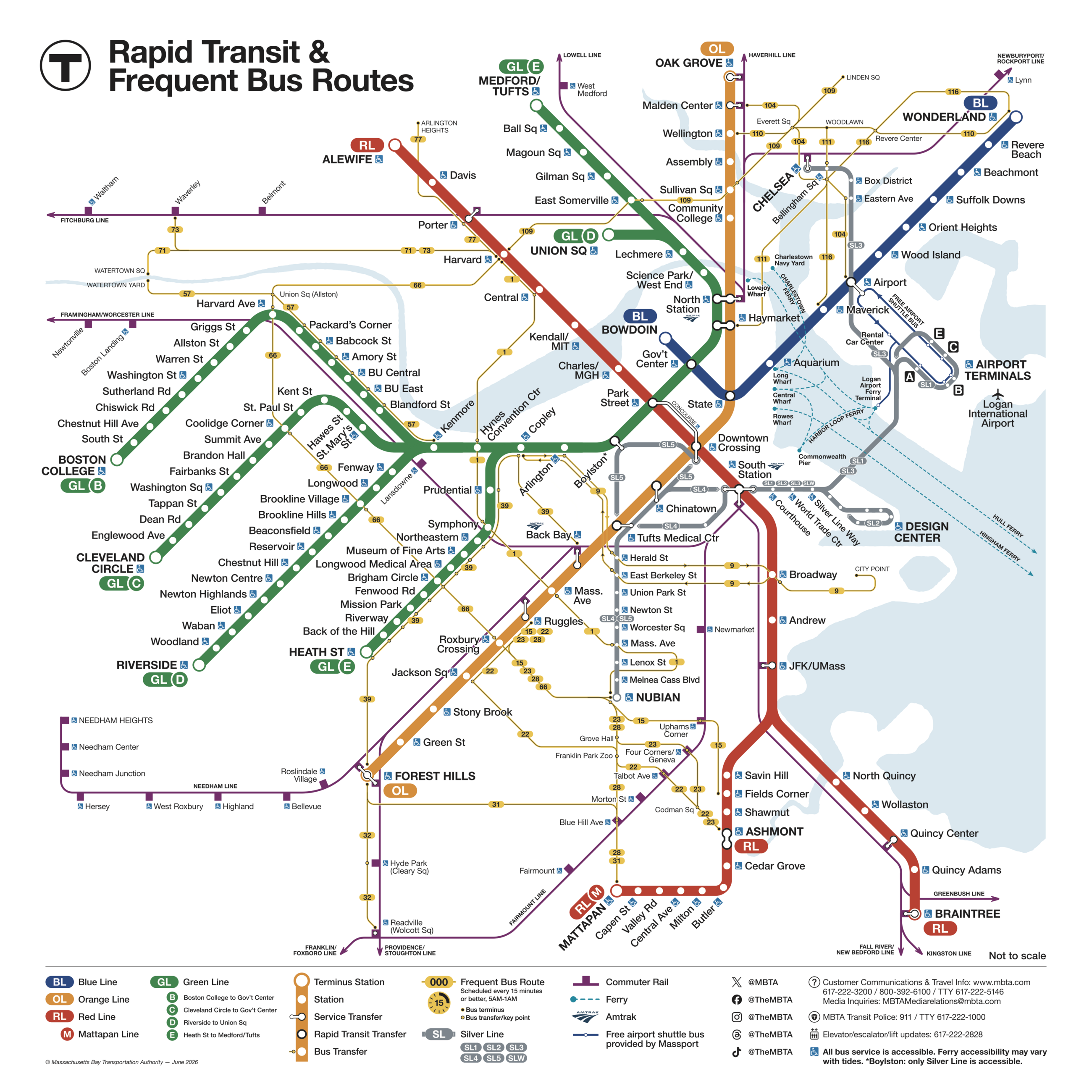
Official MBTA Subway MapView full size ↗

Source: MBTA · Map edition 2026-06-14. Images load directly from MBTA. If the image does not load, use the official PDF link above. All MBTA maps ↗

No station within the area

Commuter Rail

For a Commuter Rail trip, plan the connection to the station serving your required line. No local station is identified here.

MBTA · OFFICIAL MAP

Official MBTA Commuter Rail Map

The complete official Commuter Rail network, with stations and Boston terminals. Use the route pages for current schedules and service changes.

Official MBTA Commuter Rail MapView full size ↗

Source: MBTA · Map edition 2025-03-24. Images load directly from MBTA. If the image does not load, use the official PDF link above. All MBTA maps ↗

For Harbor Islands, confirm island access and seasonal ferry schedules with the park before travelling.

Selected stations are shown above. Open the MBTA line or station page for the full route, current timetable, accessibility and parking. Service patterns can change.

LIVING IN HARBOR ISLANDS

Islands & park access

Look closer at local homes, daily routines and ownership responsibilities.

01

Plan the specific island visit

Use the park’s current visitor information to confirm which islands are accessible, the available transport and the return journey. Ferry availability, operating seasons and weather conditions must be checked for the actual date.

ON YOUR NEXT VISIT

What to check in person.

  • ↗ Confirm the exact location and entrance
  • ↗ Walk the real daily route
  • ↗ Read the current official information

Sources for this guide

National Park Service ↗City of Boston · Neighborhoods ↗

Official sources as of 2026-10-29. Tax figures are base amounts before exemptions, any Community Preservation Act surcharge or other bill adjustments; ask for the property’s latest bill. Figures such as tax rates and fares change; confirm school assignment, permits, zoning and travel for the exact address and intended date.

← All community guides

LET’S BEGIN

Ready to buy, sell or rent out a home?

Call or email Kelly to discuss your plans.

Connect with Kelly
(857) 250-5463